Bicycle maps of California from 1896 and London from 1895
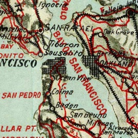
The Big Map Blog has an online/downloadable copy of a beautiful 1896 bicycle map of California:
Geographicus has a zoomable 1895 bicycle map of the London area:
This is J. Bartholomew's c. 1895 cyclist's map of 50 miles around London. Covers the greater London area from Ricester in the northwest eastwards and southwards as far as the coast. Includes the counties of Buckingham, Hertford, Essex, Middlesex, Surrey, Kent, and Sussex. By the end of the 19th century bicycling in London (and vicinity) had evolved beyond recreation to become a practical way to get from place to place. Cyclist's maps, like this one, began appearing around 1870 and continued to be published well into modern times. Map shows town, rivers, forests, parks, roads and all practical bicycling routes. Mileage from London is noted in ten mile increments. Curiously for a cycling map, this map also shows various offshore shoals, sandbars, and shipping routes.
Anyone know of any similar maps available of Missouri? About the oldest similar map we have been able to find is a 1980 bicycle plan for Kansas City, Missouri:

- Cycling Tips and Stories
- 2008
- 2011
- about
- accommodation
- adt
- bicycle
- bicycle map
- bicycle plan
- bicycling
- Bike
- blog
- California
- century
- city
- cycling
- cyclist
- form
- illinois
- kansas
- kansas city
- kansascity
- maps
- missouri
- missouri bicycle federation
- Missouri Tourism
- mobikefed
- parks
- pedestrian
- plan
- recreation
- roads
- routes
- story
- Bicycle
- California
- Cartography
- Cartography of the United States
- CDATA
- Cycling
- Document
- Earth
- Environment
- Green vehicles
- London
- Map
- Missouri
- Recreation
- Surrey
- Sussex
- Sustainability
- Sustainable transport
- Technology
- XML
Join MoBikeFed's Advocacy Network
Working together we make a real difference! Join our advocacy network:
Related pages
Current topics...
Archives...
Want better bicycling and walking in Missouri?
We rely on the support of members like you. Please join, renew, or donate today.